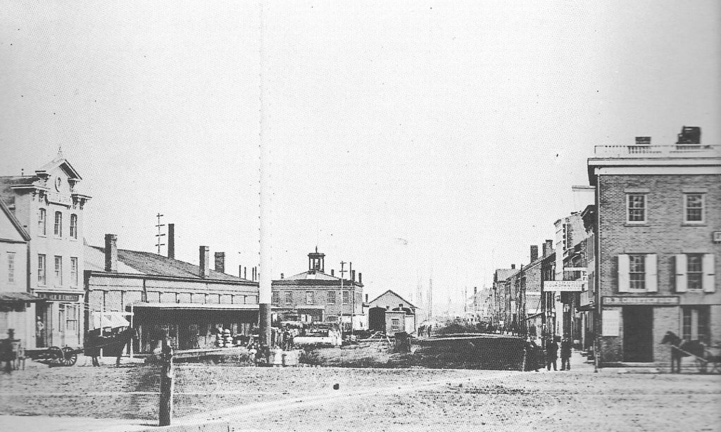
Long Wharf
We speak of it, we hear of it, but what do we actually know about it? Today when we drive along the I-95 corridor, we see signs referring to a place called Long Wharf, but we see no such structure projecting out into New Haven Harbor. What was it? Where was it?
Throughout most of New Haven’s history, the coastal, China, and West Indies trade accounted for most of its maritime activity. For its first two centuries, New Haven’s basic resource was the port, and the appearance of its shoreline has changed repeatedly over the centuries, reflecting the changing needs of the populace.
It was the winter of 1637 when seven men–the advance guard for Rev. Davenport and Theophilius Eaton’s boatload of religious pioneers—sailed up the West Creek (now buried under the Oak Street Connector), and spent their first nights camped on the spot more recently occupied by the New Haven Coliseum. In the years that followed, the shoreline would move further and further from the original Nine Squares.
As early as 1644, the construction of a wharf was proposed, and every male between the ages of sixteen and sixty was asked to donate four days of work to this important undertaking. By 1736, the main wharf–Long Wharf–extended about four hundred feet into the harbor; as the years went by, it was continuously lengthened. The base of the wharf was at a spot that is very near to where the seven men had camped, and the Coliseum has stood. In 1810-11, William Lanson, a black man, oversaw construction of fifteen hundred more feet of wharf, bringing it to its maximum length: thirty-five hundred feet.
By now, the wharf was lined with bustling warehouses and shops, and ships could load and unload at all tide levels. Clustered near Long Wharf were maritime-related businesses, along with stores, mills, banks, and other shops.
In 1836, the bed of the now-defunct Farmington Canal was lined with railroad tracks that extended north and south across Connecticut, and down the bed of East Creek, and then out onto a dock that ran parallel to Long Wharf. This arrangement streamlined the transfer of goods between rail car and ocean vessel.
The late 1800s saw the advent of pleasure travel by steam vessel; regular routes ran from New York to New Haven, and from New Haven to Savin Rock and Lighthouse Point. This trend would not last, however: by 1920, regular New York-New Haven steamboat service had been discontinued.
By the mid-1900s, the wooden expanse of Long Wharf was but a memory and the harbor continued its endless change. After World War II, the harbor was deepened to allow larger and larger ships to enter. The dredged material, approximately seven million cubic yards of mud, was used to fill in the harbor’s head, and the harbor’s west shore was extended nearly one mile east. This created the land that now supports I-95, Long Wharf Drive and Sargent Drive, and the Maritime Center. In recent decades, the shape of the harbor was changed considerably, to ease the increased passage of automobile traffic.
Would those original seven men who camped on East Creek through the winter of 1637 recognize their “new haven” today? Would they approve of its new look? We can only wonder.